What to do
The map places things; to navigate, use the Google Maps link on each page.
Thousands more routes across Asturias
Below are our picks, chosen and described from start to finish. If you want more, Wikiloc and Komoot have thousands of routes all over the region, with the track ready to follow on your phone.
Gijón and the central coast
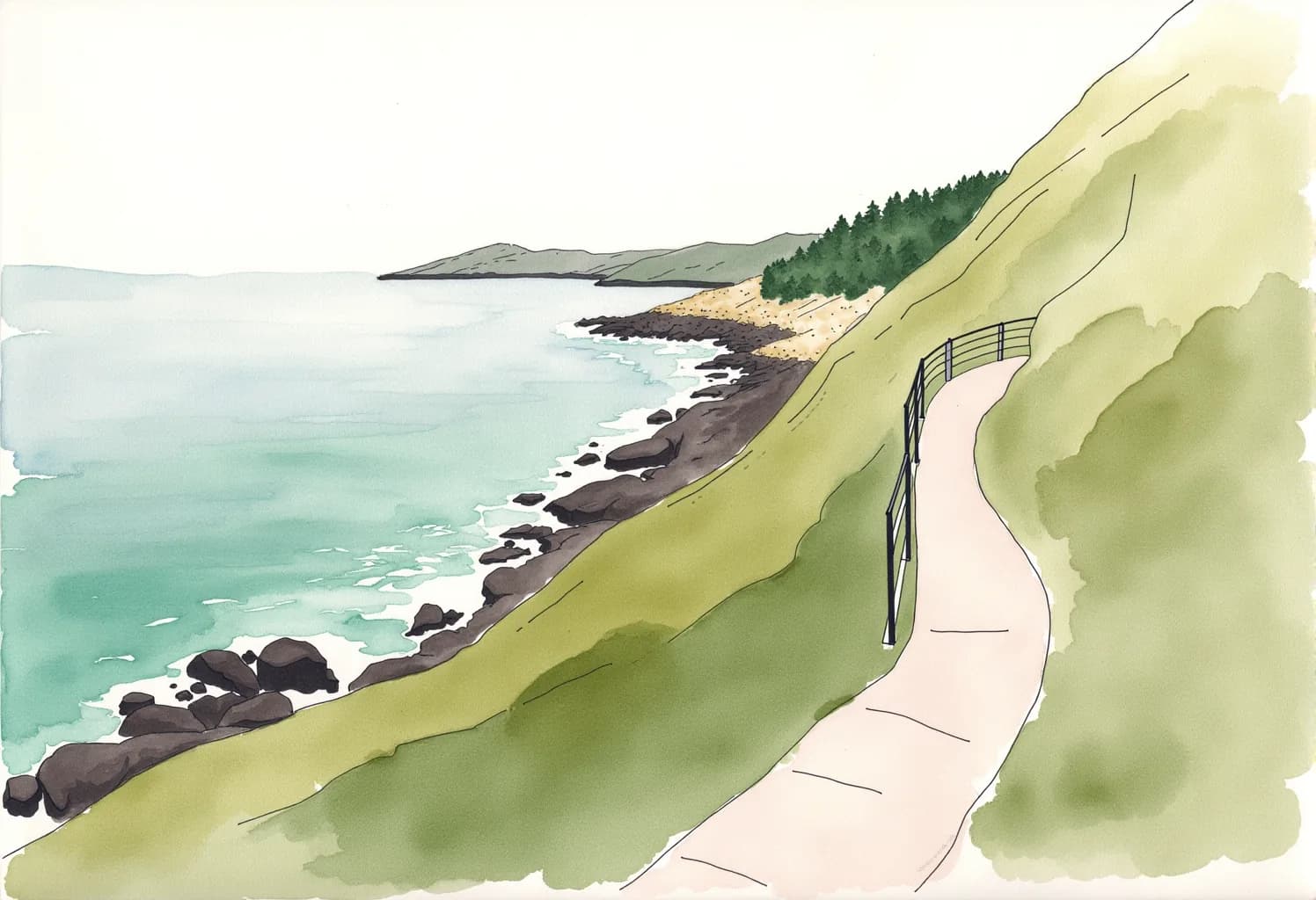
East
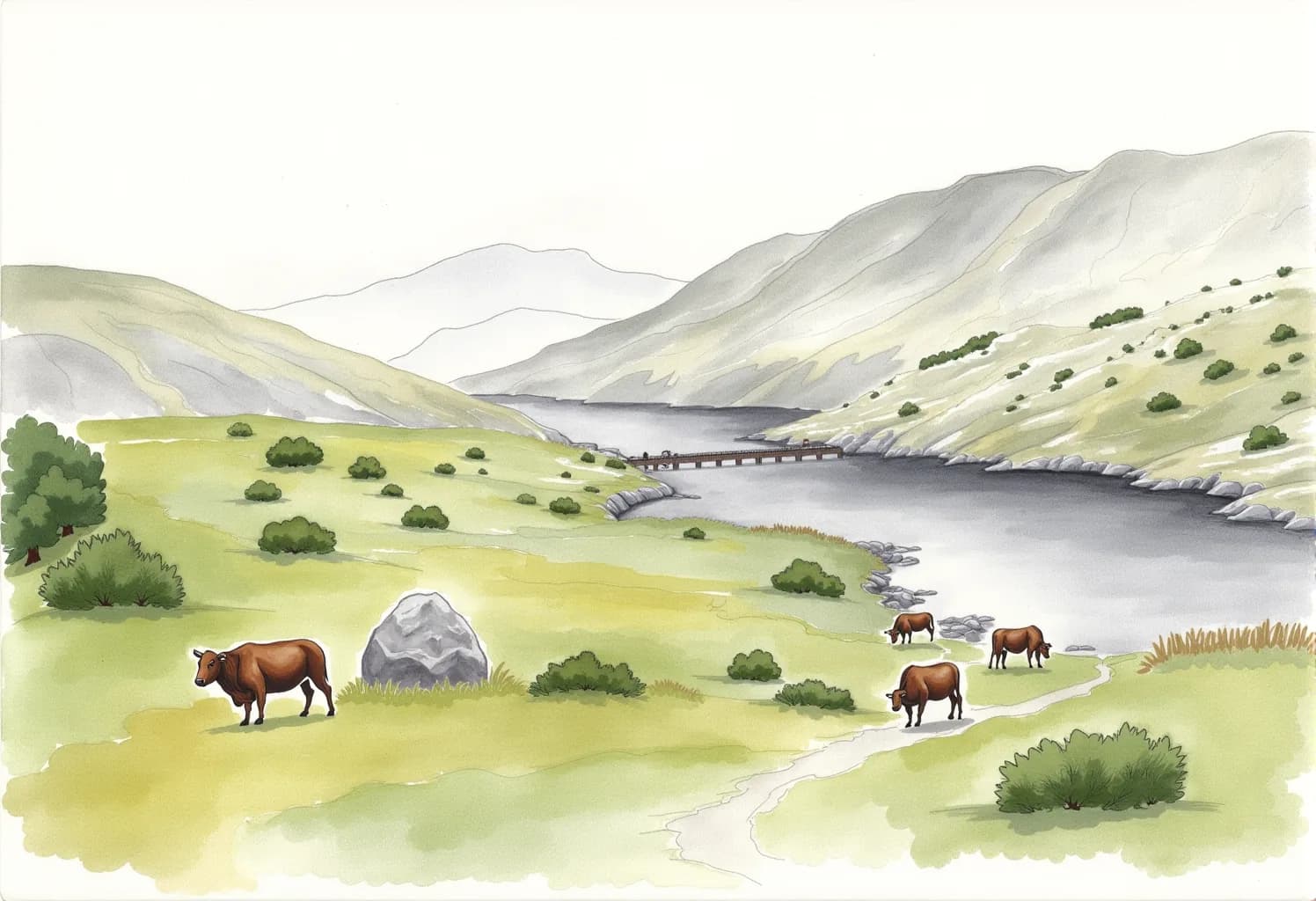
Covadonga and the Lakes
The shrine in the cliff and, twelve kilometres further up, the lakes.
1 hr 15 min by car8 hr
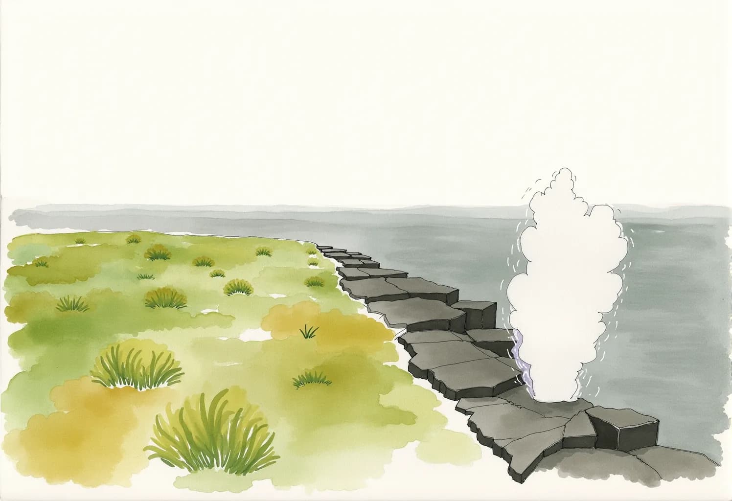
The Bufones de Pría
The sea comes in through a crack and leaps out of the cliff.
1 hr 10 min by car1 hr 30 min
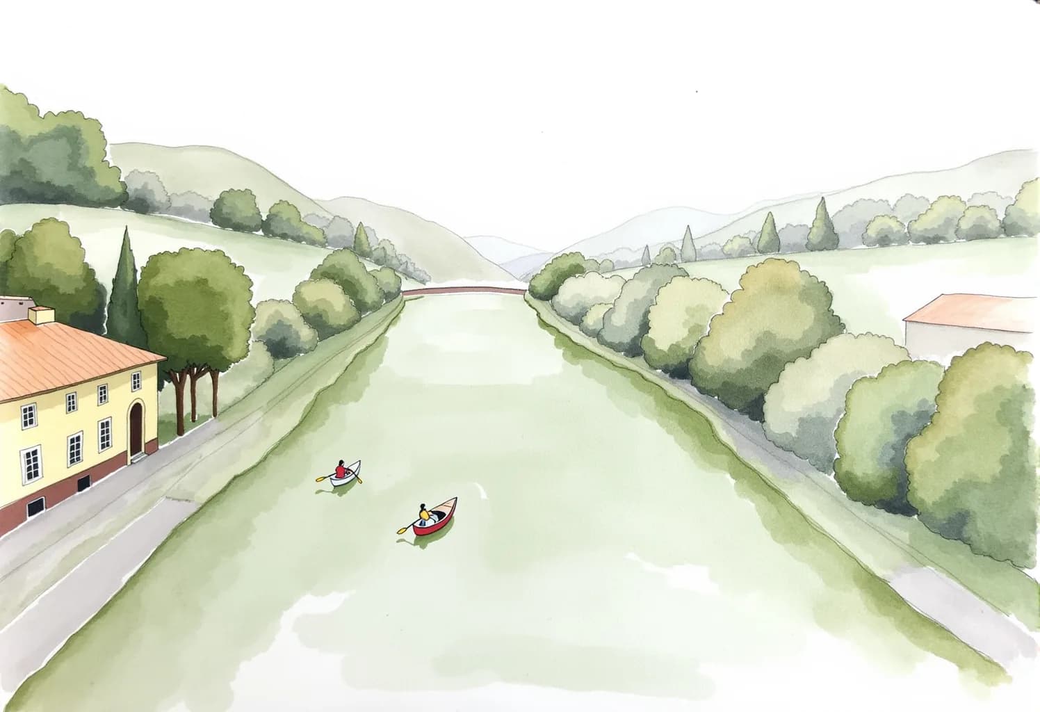
Canoeing down the Sella
Fifteen kilometres of calm river, from Arriondas to Ribadesella.
50 min by car5 hr
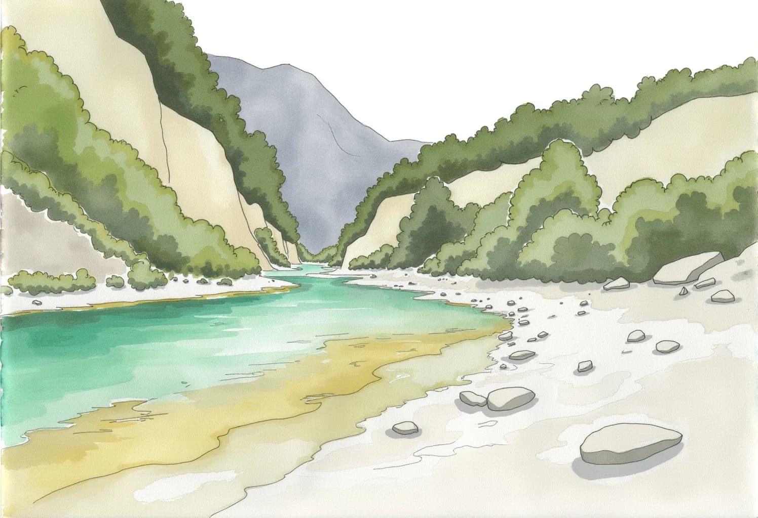
La Olla de San Vicente
A flat walk along the river to a turquoise pool.
1 hr 5 min by car3 hr
South
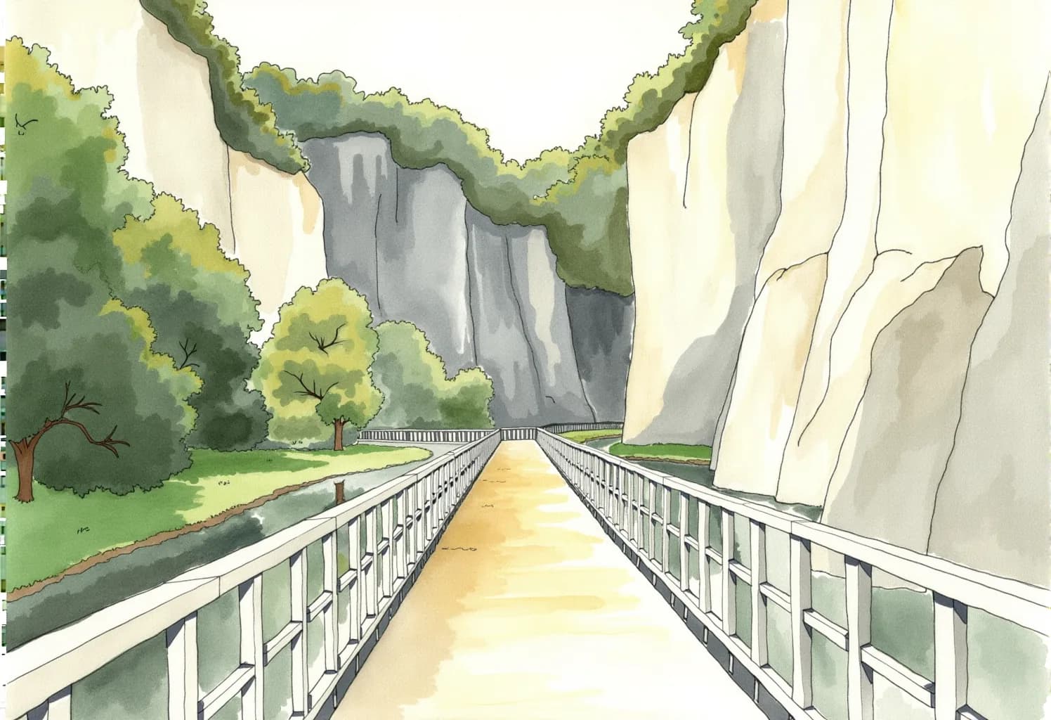
The Bear Trail
A flat greenway through a gorge, on foot or by bike.
35 min by car4 hr
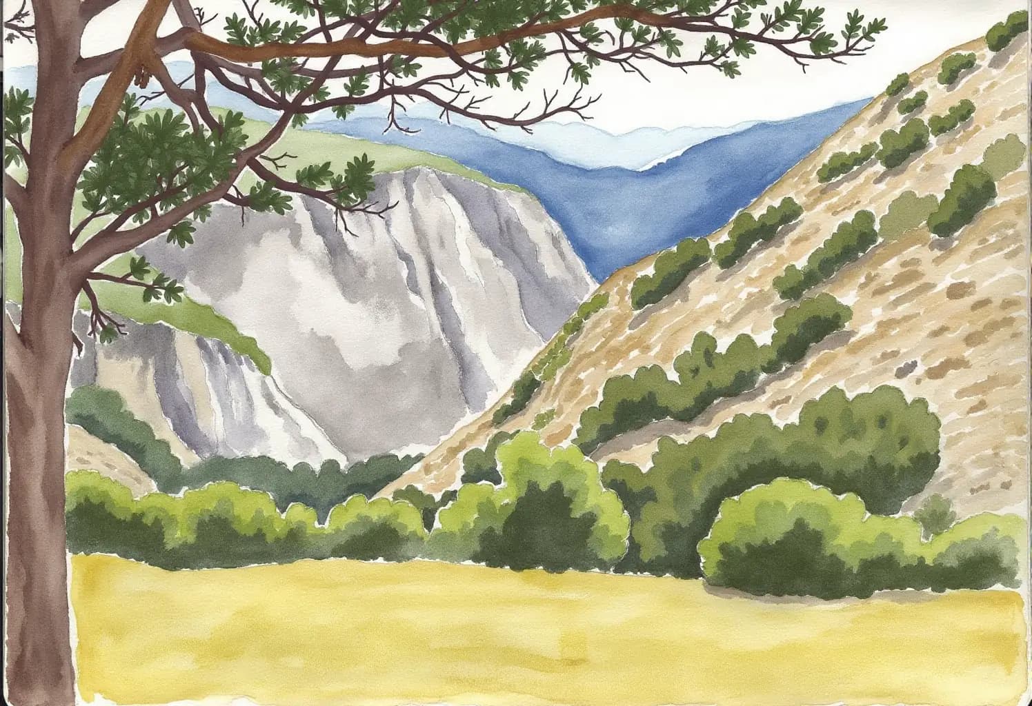
Ruta de las Xanas
A path carved into a gorge wall, with real vertigo.
35 min by car5 hr
Xurbeo waterfall
A short woodland walk to a waterfall in Aller.
1 hr 10 min by car3 hr
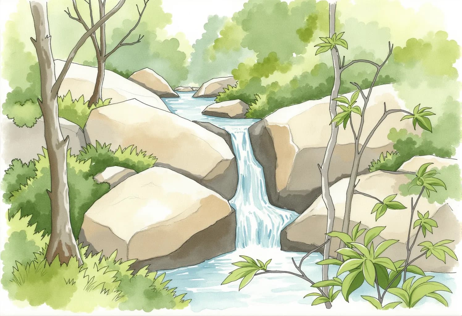
Ruta del Alba
A gorge of pools and stone bridges in the Redes Natural Park.
45 min by car6 hr